


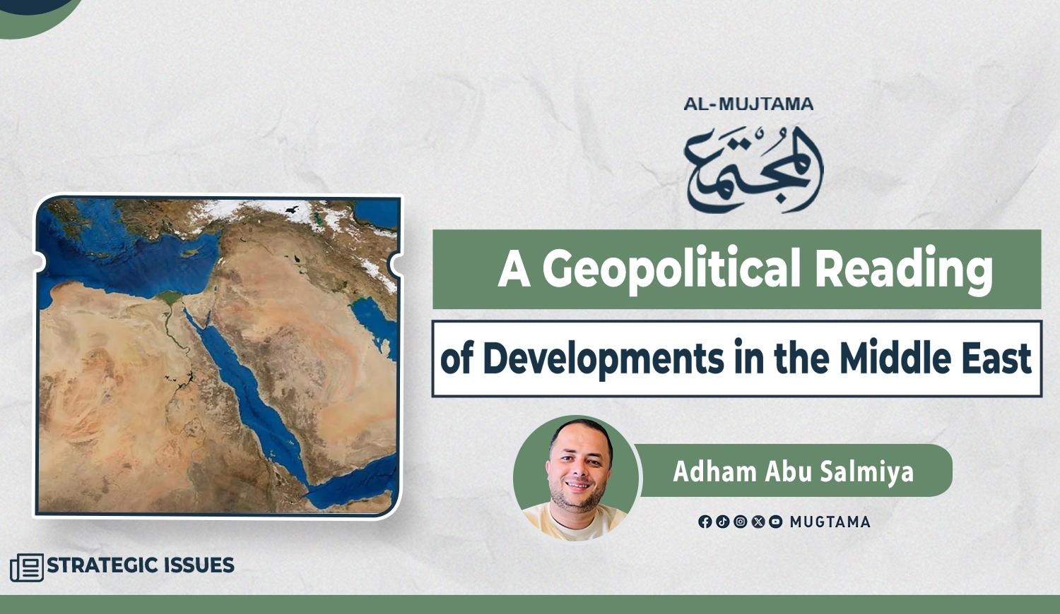
A Geopolitical Reading of Developments in the Middle East
Geography as the Key to Politics
In his famous book The Revenge of Geography, American
thinker Robert Kaplan argues that politics cannot be understood apart from
maps. States that ignore geography in shaping their strategic visions condemn
themselves to miscalculation. Maps, in this view, are not neutral spatial
representations but reveal constraints and opportunities, the logic of power
and conflict beyond ideological emotions or temporary alignments.
From this perspective, today’s developments in the
region—including Iran, Palestine, the Red Sea, and the Eastern
Mediterranean—must be read geopolitically, beyond sectarian or ideological
interpretations. The central question is not “with whom do we sympathize?” but
“who controls the map and its vital nodes?”
From Gibraltar to Bab al-Mandeb
Recent experience shows maritime chokepoints remain at the
heart of global conflicts. During Israel’s war on Gaza, the Strait of Gibraltar
emerged as a critical passage between the Atlantic and the Mediterranean.
Spain’s restrictions on suspected arms shipments highlighted the strait’s
sensitivity in great-power calculations and renewed focus on Israel’s ties with
southern Mediterranean states, notably Morocco.
Similarly, the control of Yemen’s Ansar Allah movement over
Bab al-Mandeb demonstrated how a non-state actor can disrupt global trade. The
blockade of Israeli-linked shipping paralyzed Eilat port and inflicted tangible
economic losses on Israel. This reaffirmed a geopolitical constant: control of
straits equals possession of strategic leverage far beyond conventional
military power.
Israel’s interest in Somaliland and its unilateral recognition
of it as a state near Bab al-Mandeb reflects a broader strategy to build
influence networks overlooking key trade and energy routes.
Iran’s Geography and the Strait of Hormuz
The same logic applies to Iran. Debates about “regime change”
are often framed in moral or humanitarian terms, focusing on the Iranian
people’s suffering or the nature of the political system. Yet geopolitics
demands a different question: what does Iran’s position on the Strait of Hormuz
mean?
Nearly one-fifth of global oil trade passes through Hormuz,
making it one of the world’s most dangerous chokepoints. Any shift in Tehran’s
political authority or strategic posture directly impacts global energy
balances and maritime security.
Thus, the struggle over Iran is inseparable from control of
one of the world’s most critical maritime gateways. U.S. interest in Iranian
protests is less about human rights than about creating a political alternative
that grants Israel strategic depth at Hormuz.
Water, Heights, and Regional Power
Israel’s control of the Golan Heights and Mount Hermon in
Syria is not only military but hydrological—commanding key water sources and
rivers such as the Jordan, Yarmouk, Hasbani, and Litani.
Likewise, Israel’s moves in East Africa, including ties with
Ethiopia, cannot be separated from water security and the interests of
downstream states like Egypt.
This model of dominance does not rely solely on occupation or
settlement but on controlling movement: trade routes, energy lines, water
sources, and maritime chokepoints. It recalls U.S. strategy in the Western
Hemisphere, where control of canals and sea lanes—from Panama to the Caribbean—was central to preventing rivals from approaching America’s vital
sphere.
Toward a Realistic Arab Reading
This geopolitical lens reveals that what is being reshaped
today is not only maps of influence toward a “new Middle East” but the rules of
the game itself. Control of routes and resources means subjecting surrounding
states to long-term Israeli economic and security hegemony, even if they retain
formal sovereignty.
Hence, the urgent Arab need is to rethink mechanisms of engagement with this reality—whether in normalization, resource management, or building regional alliances capable of breaking the logic of isolation and control. History, as maps remind us, does not forgive those who ignore geography.